Posts Tagged ‘Fire’
Wildfire Mapping
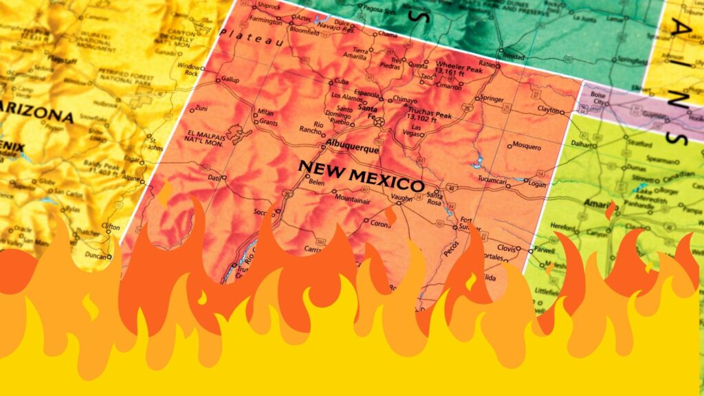
5.20.2022 – Using public data from the U.S. Forest Service, Steve Bassett, Director of Planning and Spatial Analysis with The Nature Conservancy, has been creating perimeter maps each morning, showing the progression of the Hermits Peak-Calf Canyon Fire in northern New Mexico. “With the skills that I have and the desperation I was feeling, I…
Read MoreNew Mexico’s Evolving Droughts & Wildfire Threats
January 7, 2022 – Park Williams is a bioclimatologist who studies drought and wildfire in the western United States. He spoke with correspondent Laura Paskus about today’s ongoing drought and how it compares and contrasts with droughts in the ancient past. The two also talked about wildfire in the West and how climate change and…
Read More


