NMiF Podcast
Mapping Wildfires & Upending the West’s Water Narratives
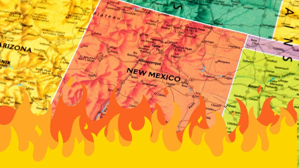
Using public data from the U.S. Forest Service, Steve Bassett, Director of Planning and Spatial Analysis with The Nature Conservancy, has been creating perimeter maps each morning, showing the progression of the Hermits Peak-Calf Canyon Fire in northern New Mexico. “With the skills that I have and the desperation I was feeling, I went out…
Read MorePotential Abortion Impacts in NM, NM Childcare Benefit Expansions & Virgin Galactic Delays
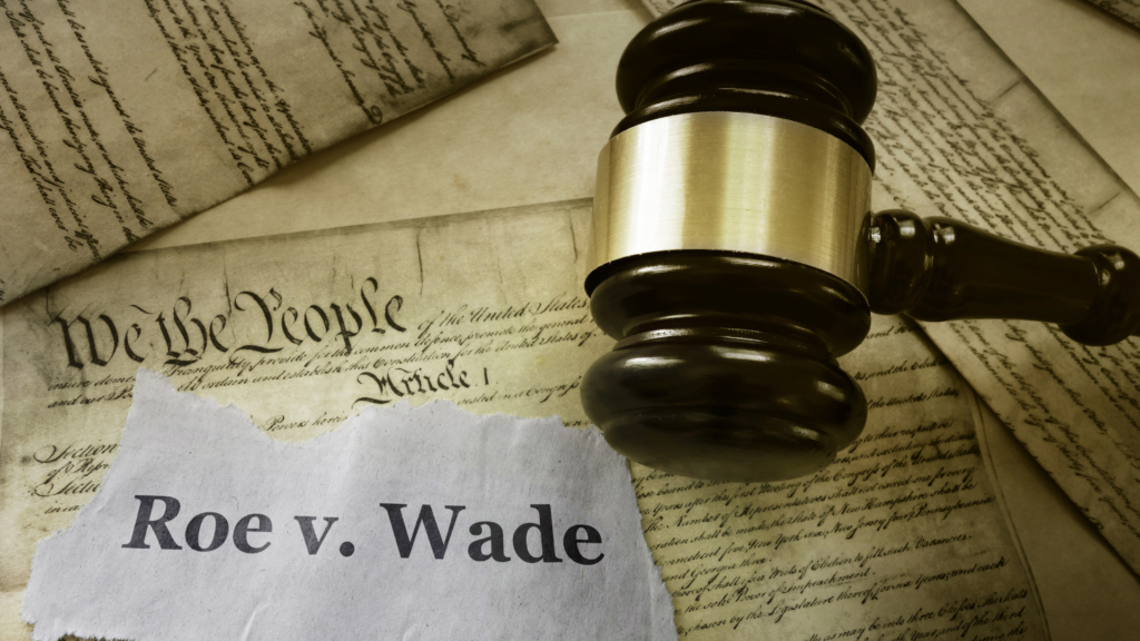
The Line Opinion Panel discusses the issue of abortion rights, and how overturning Roe V. Wade could impact New Mexico. Will restrictive laws in other states force more people here for procedures? The Panel will answer that question while considering the impact this debate could have on midterm elections. Virgin Galactic is announcing a delay…
Read More